 |
||
|
||
The WB&A trail is built along what was originally the right-of-way of the Washington, Baltimore, and Annapolis Electric Railway, a heavy interurban railroad between the road's namesake cities. The portion of the railroad between Baltimore and Washington was built between 1902 and 1905, when the 66-foot-wide, 30.74-mile-long, right-of-way was constructed. The Annapolis portion of the road was established on February 26, 1903 when the extant Annapolis, Washington, and Baltimore Railroad, a steam line, was purchased by the ambitiously-named WB&A. The Washington-Annapolis section of the road - a portion of which, from Odenton to Glenn Dale, comprises the WB&A trail - opened on February 7,1908. For a much, much more detailed history of the WB&A, I recommend the book Every Hour On The Hour by John E. Merriken.
The portion of the trail we describe runs 13.8 miles, from the corner of Piney Orchard Parkway and Odenton Road in Odenton to the Patuxent River. It passes by and through several communities and developments, some of which communities (such as Waugh Chapel) sprung up as a result of the railroad. The trail also passes through woodlands, where cuts made by the railroad still exist, and across open flat areas. The trail begins again on the far side of the Patuxent and continues to Glenn Dale; there is, unfortunately, (due to politics) no bridge across the river.
Along the trail one will find picnic tables, trailside parks, benches beneath shade tres, and evem a nature preserve. One thing of interest to note is that the bridge over the Little Patuxnet RIver, which is about three miles from the beginning of the trail at Odenton Road, is built upon the bridge abutments from the Washington, Batomore and Annapolis Electric Railway - proof positive that the trail actually does follow the old interurban right-of-way. Well, for about four miles,on the Anne Arundel County side, anyway.
The end of the railroad right-of-way portion of the trail on the south side of the Patuxent River is beneath a series of high-tension lines. Then the trail takes a lot of turns to wind through developments and to finally wind its way, through a series of steep hairpin turns, to the Patuxent River.
The end of the trail is less than spectacular: a large open, grassy, area, puntuated by a curbless asphalt circle and two huge rocks along the far edge. The river is not visible, but if the wind is blowing in the right direction and you strain your ear, yu can almost hear it.
The trail is well manicured, with grass kept to household lawn height and bushes and trees kept well back from the trail. In fact, on the day on which I wrote this a tree service was on the trail trimming trees that were too close to the trail.
The Anne Arundel County side of the trail ia also regularly patrolled by park rangers.
On the Prince George's County side, the trail continues at Bowie, with an entrance to a parking lot on Race Track Road just past the covered bridge. There is a short - and I mean short - segment going to the Patuxent River; here you can get to the shore and see the surviving bridge abutments and a surviving pier (there is also a surviving abutment on the side where you're standing, and part of a wing wall is prominent.
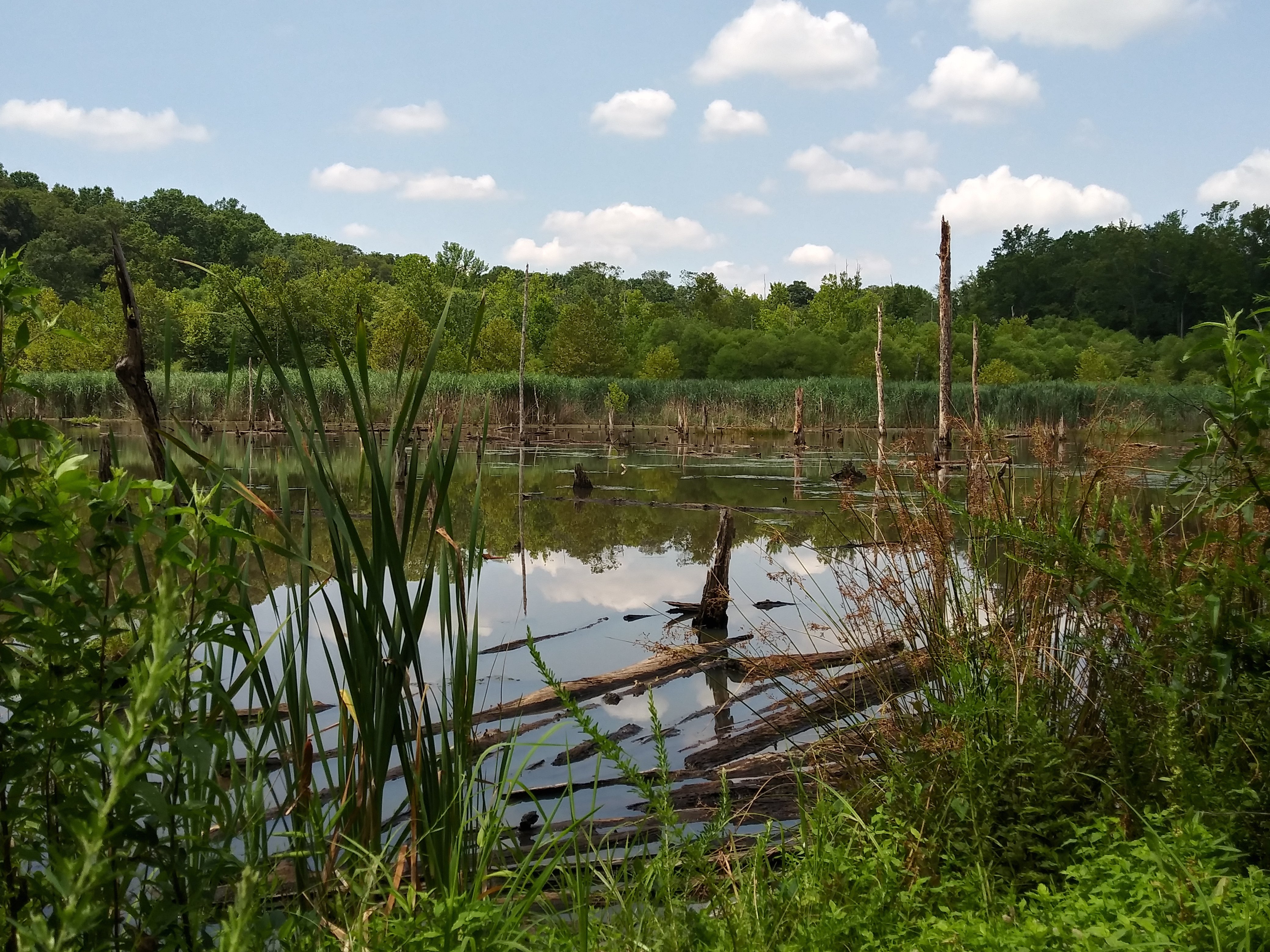
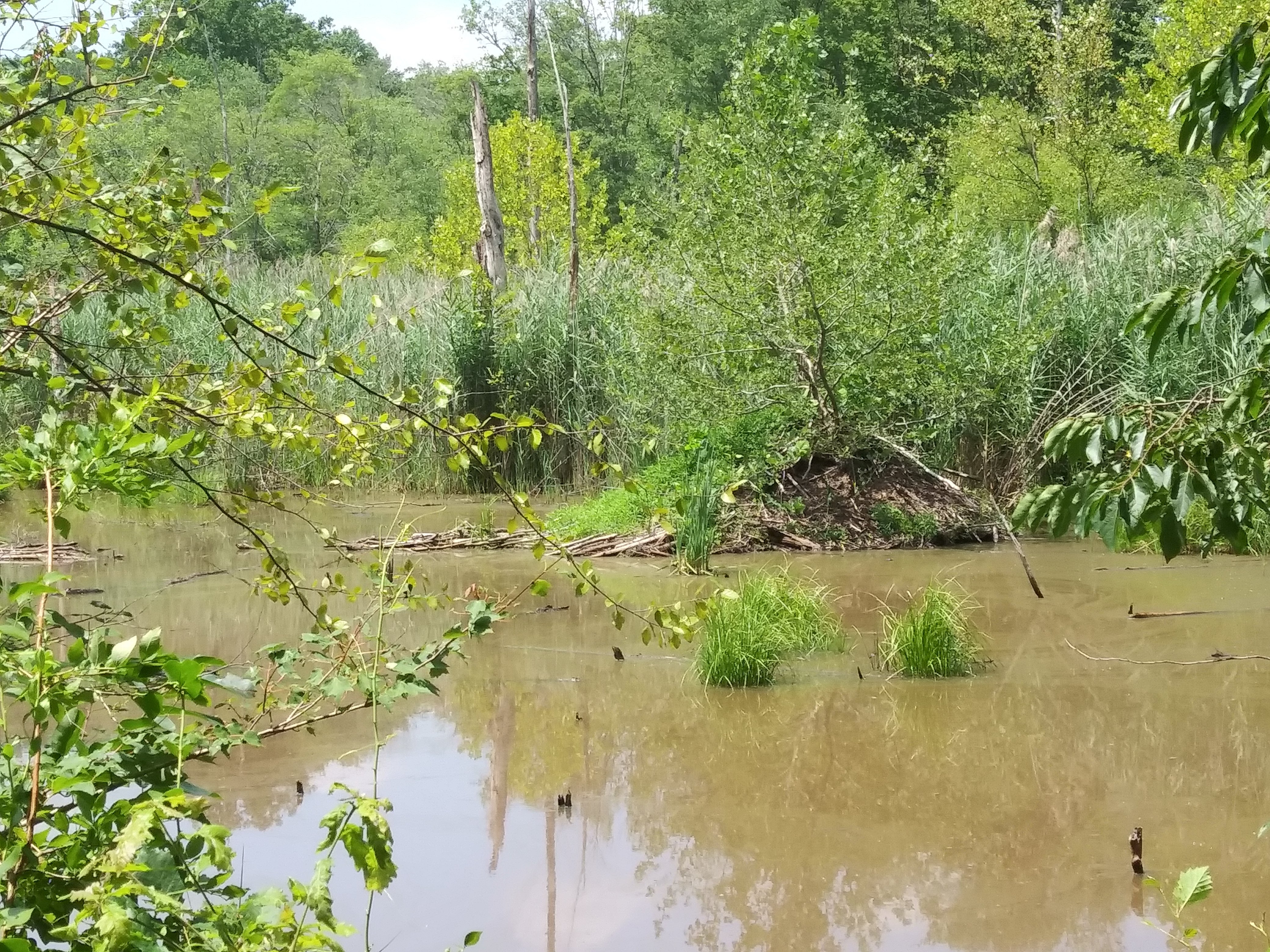
On What the trail builders call the "W. B. & A. Spur" there is a stretch of trail that goes through a marsh, which is breathtaking. There are bullrushes everywhere, a pond, and there are bullfrogs and butterflies EVERYWHERE. There's even a beaver lodge in the pond. If you're lucky, you'll even see a deer or two.
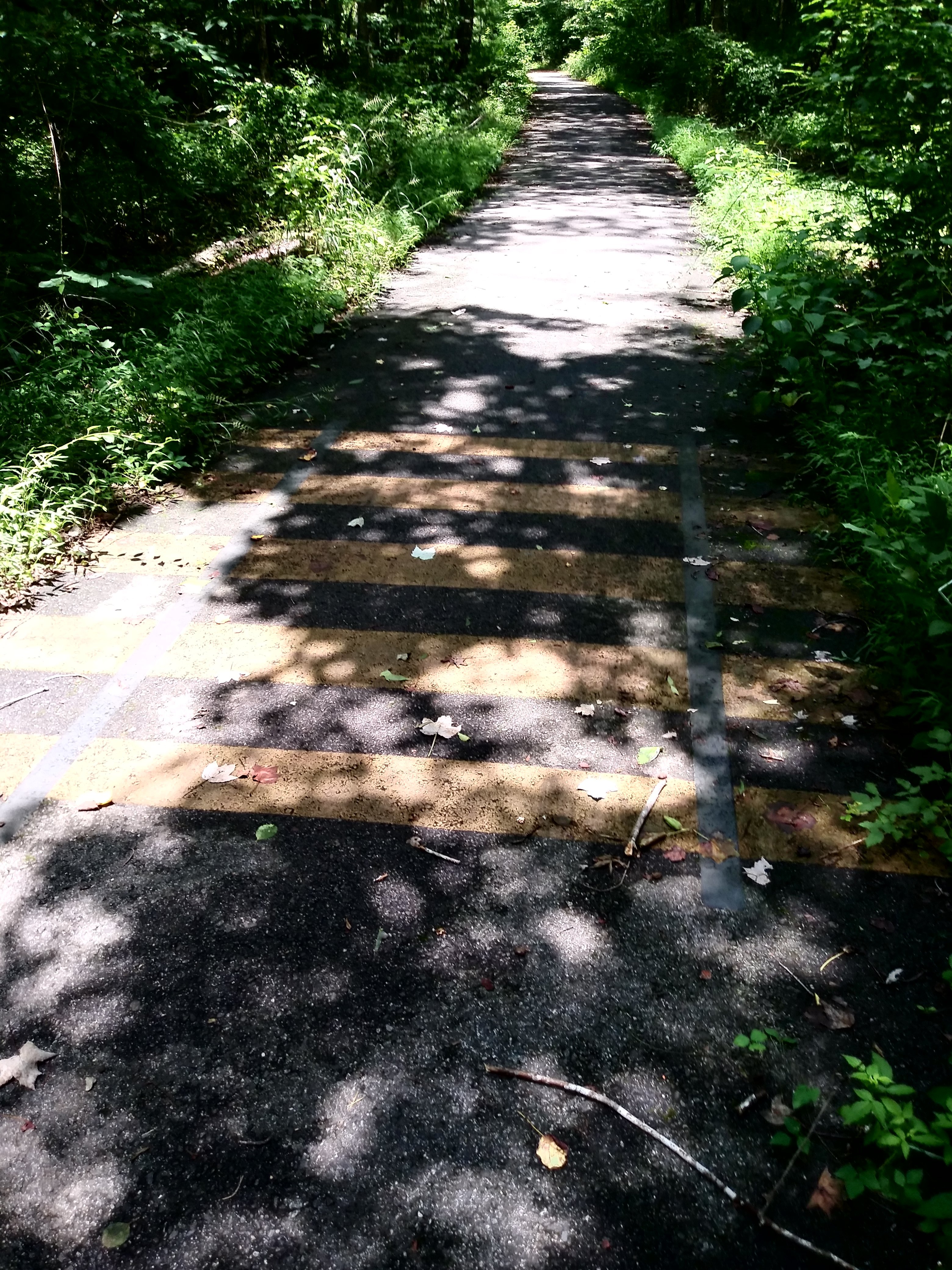
Also along the "spur" are quarter-mile markers; at these instances the trail is painted with "railroad tracks" to let you know you've passed a marker. Interestingly, there IS one section of track embedded in asphalt at the beginning of the spur - though the "ties" are painted, the rails are real. Wherher this is an actual remnant of the WB&A, or merely serendipity, I don't know - but it's still cool.
For those of you who can't make it to the trail, here are some (like 26!) photos of things you'd see on a ride:
|
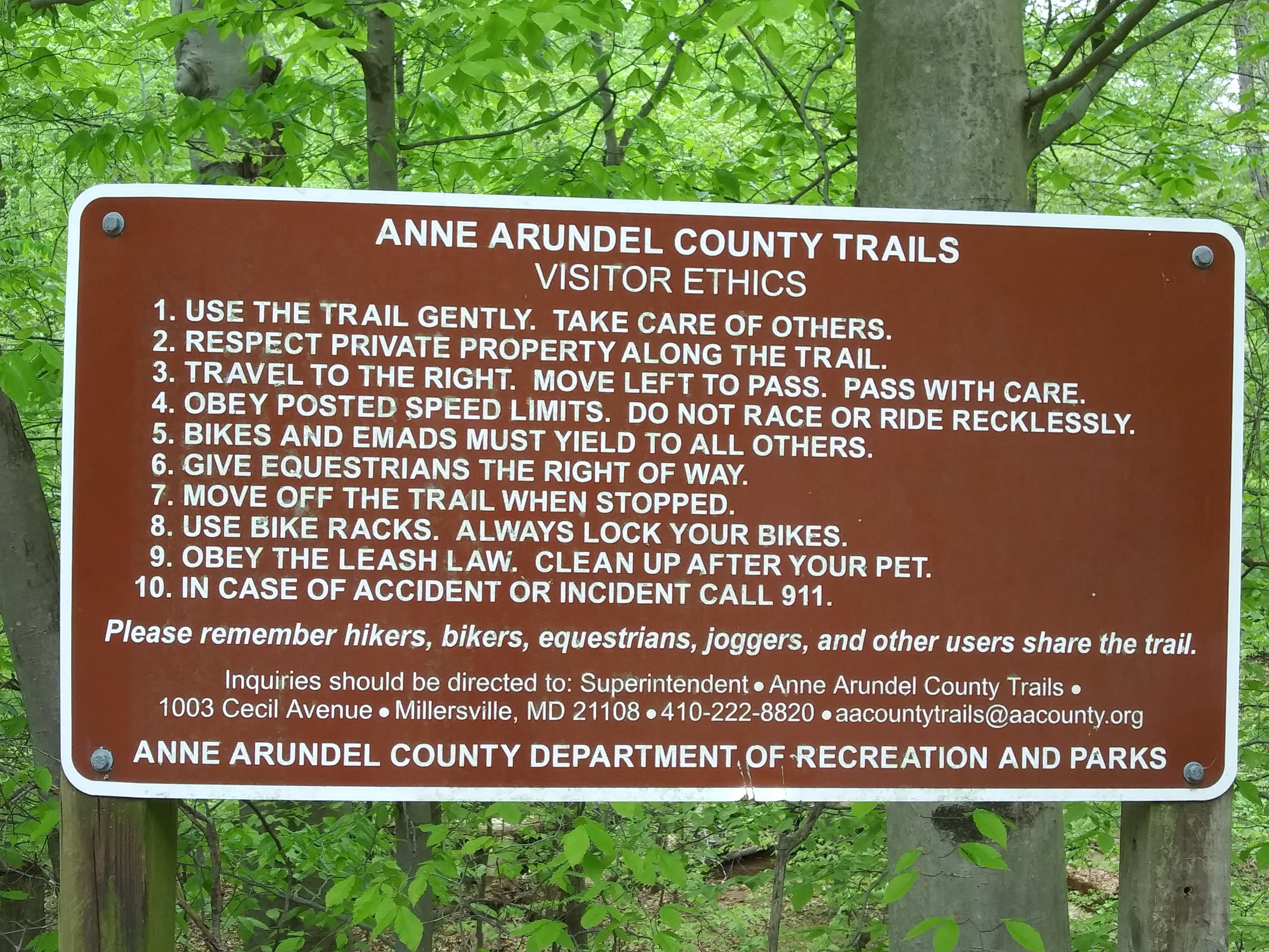
Hmmm...ethical behavior...?
Tell that to the weekend warriors who dress up in
Spandex and speed past everyoine else on the trail like they own it! |
|
Near Odenton Road |
|
Just past Waugh Chapel Road, heading toward the
Patuxwnt River |
|
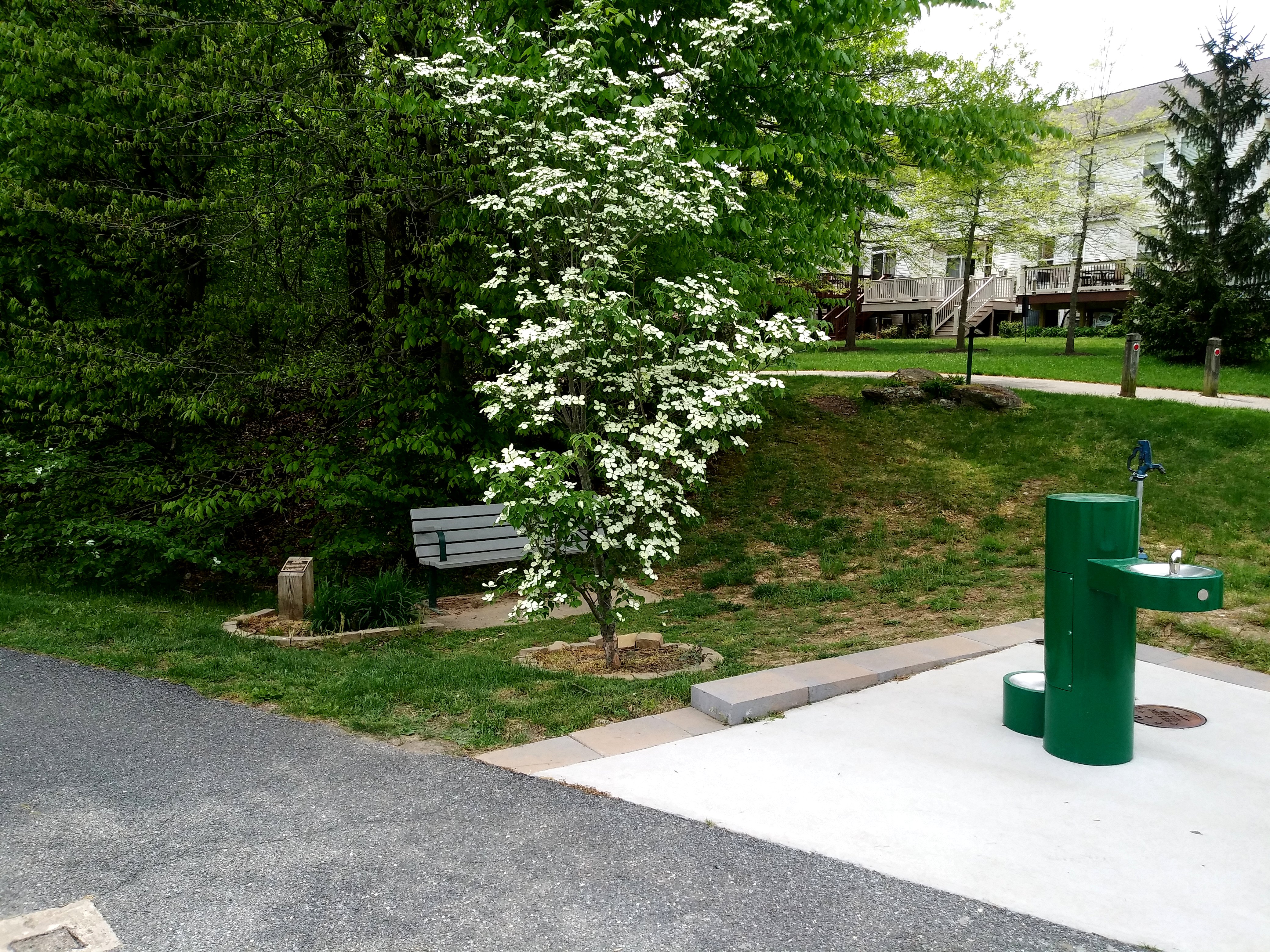
Trailside park at Strawberry
Lake Way, dedicated to two beloved pets (at least I hope they were pets - "Chau Chau" is a strange name for a human!) |

|
Dedication plaque at Strawberry Lake Way trailside park | 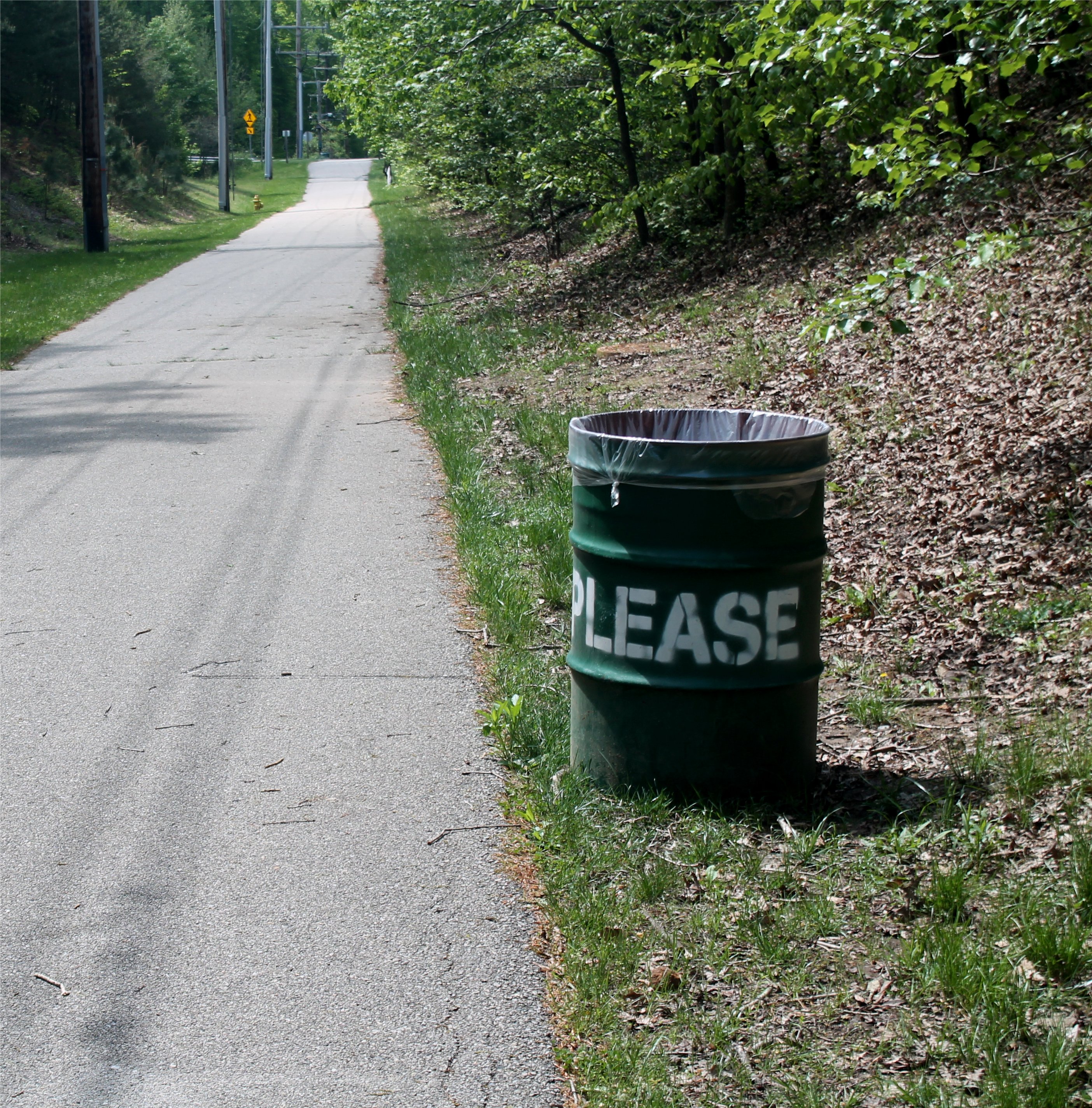
|
It's a clean trail - there are trash
mile or so, and, judging by the lack of trash along the trail, people are very conscientious about not littering |

|
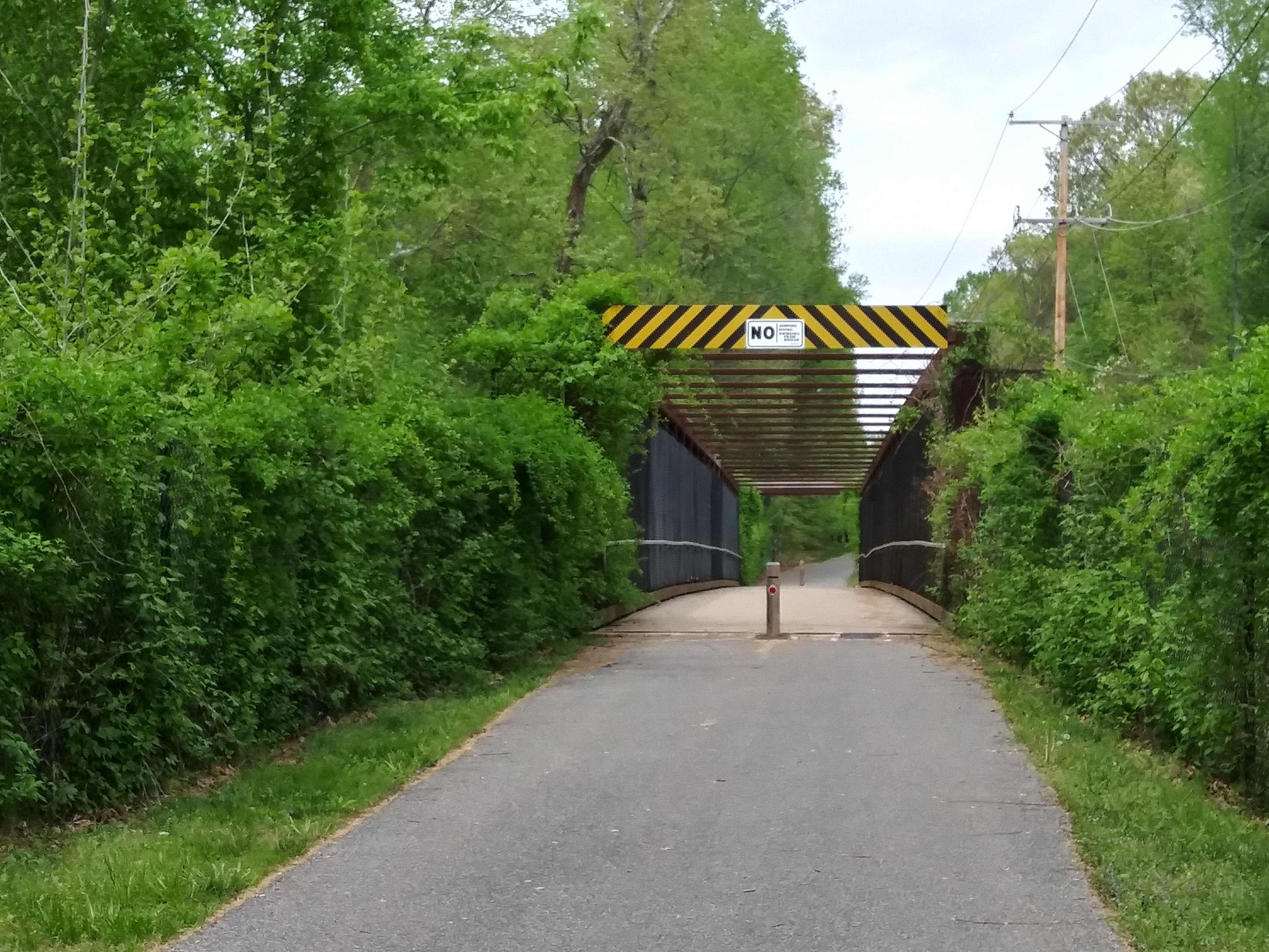
Tunnel under Old Waugh Chapel Road | 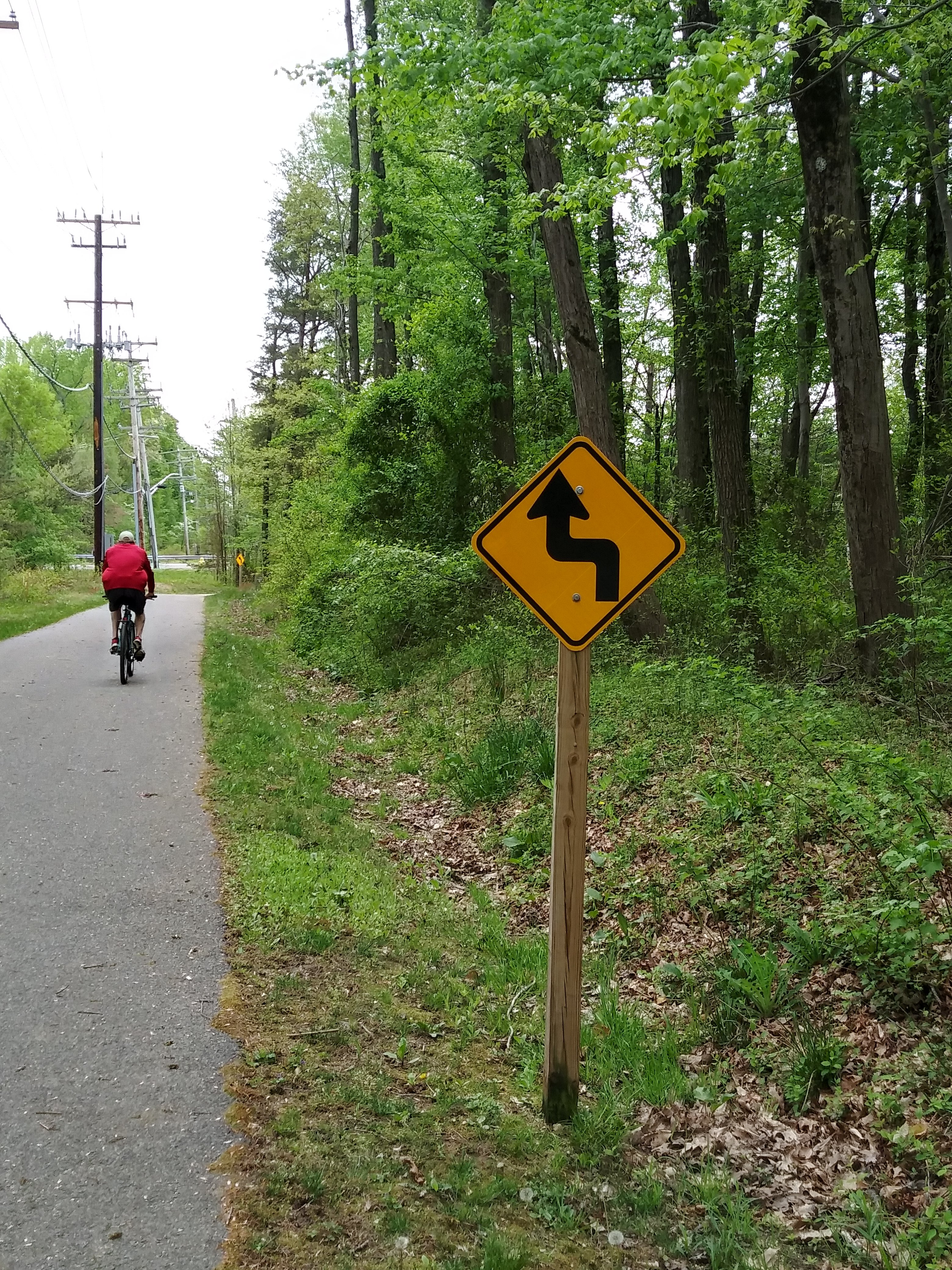
|
This sign indicates a
left-hand turn followed by a right-hand turn - but the curve is actually a right-hand turn, followed by a hiarpin turn to the left. I think the sign is more for decoration than for direction |
|
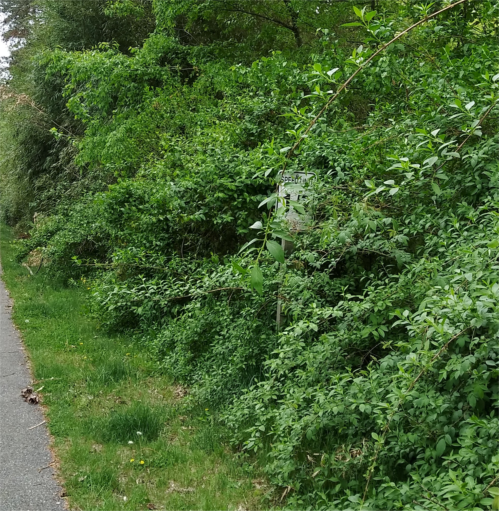
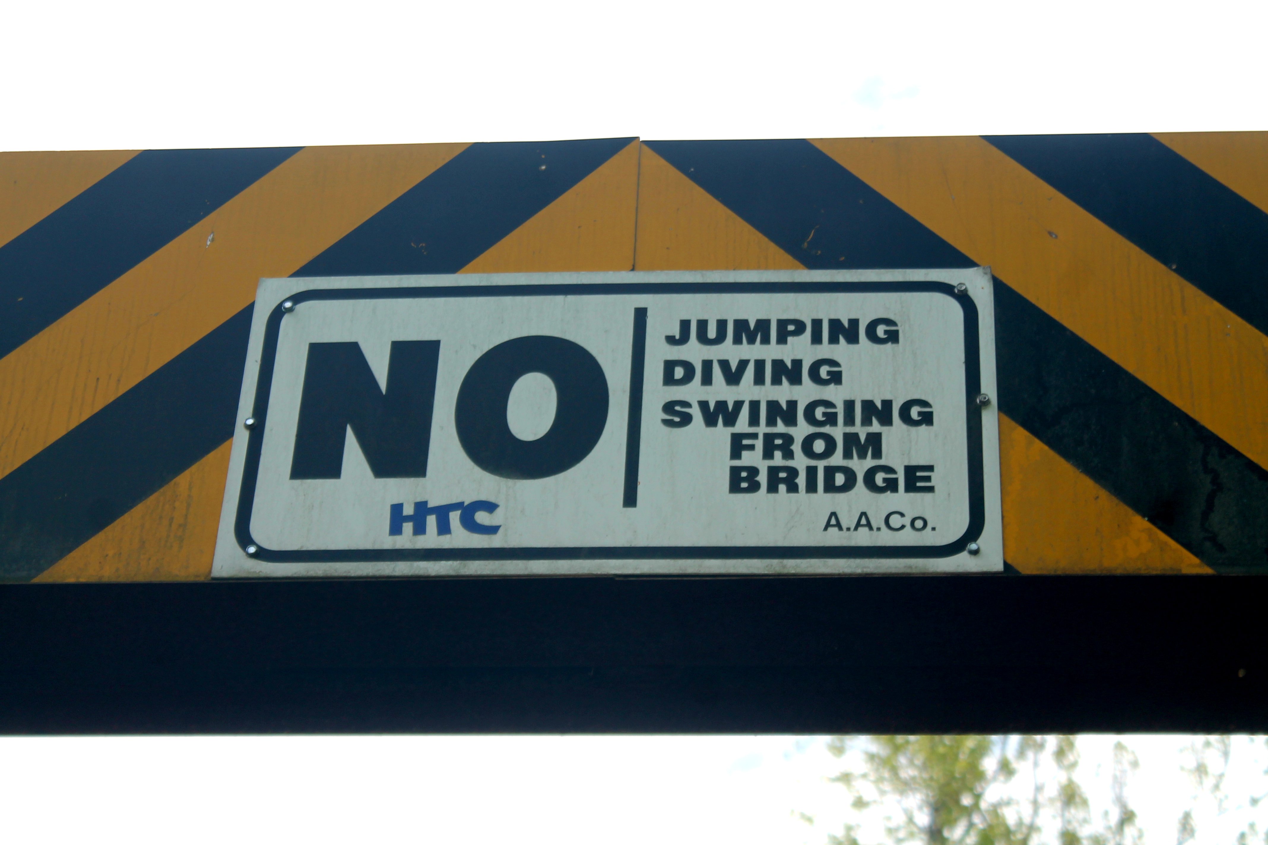
Yes, you can see the sign - if you're
looking for it. Indiscernible in the picture, along the bottom of the sign it says "RANGER" ENFORCED" |
|
Bridge near Strawberry Lake Way |
|
Bridge across the Little
Patuxent River. This bridge uses the original abutments of the WB&A Electric Railway bridge across the river |
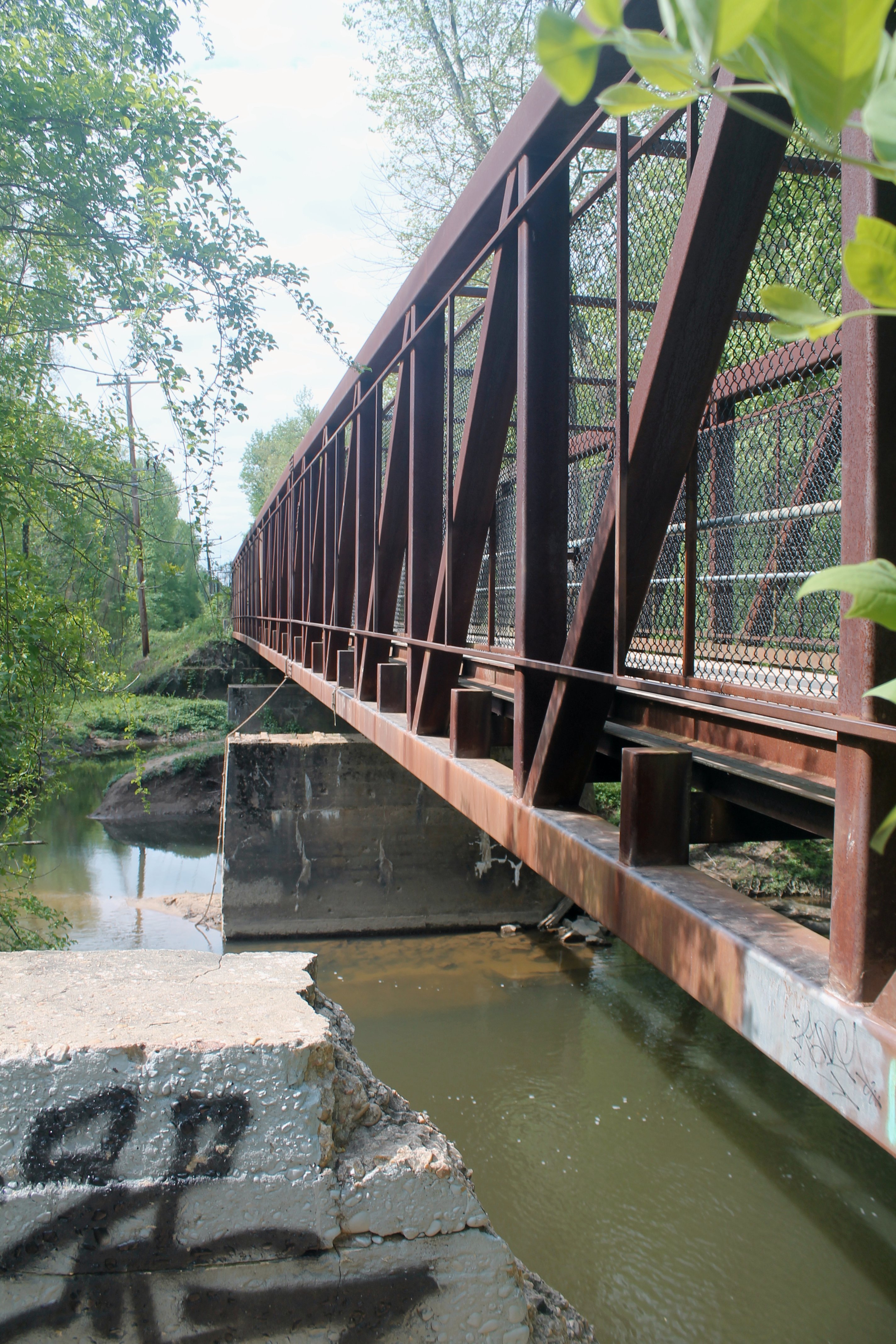
|
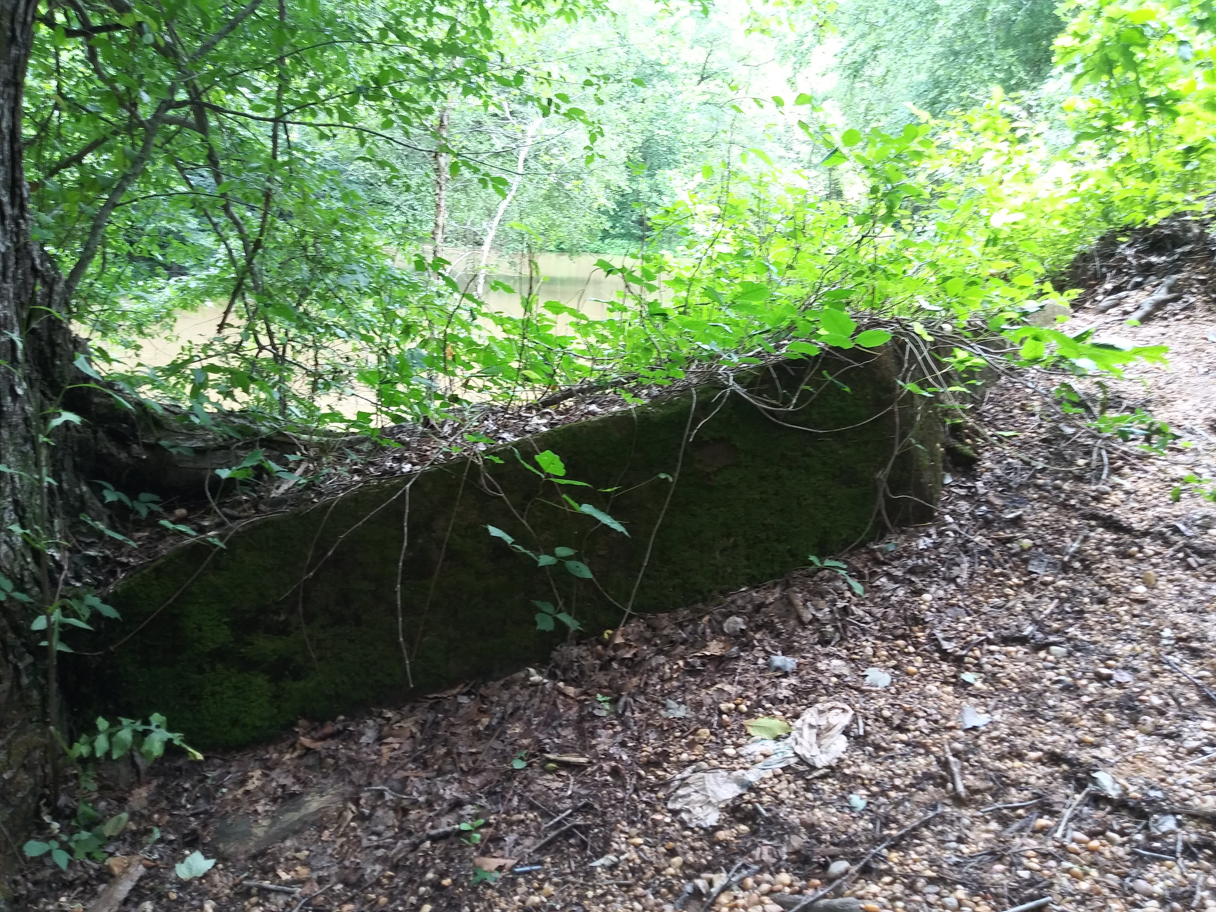
The original WB&A Electric
Railway bridge abutment |
|
Just...no! | 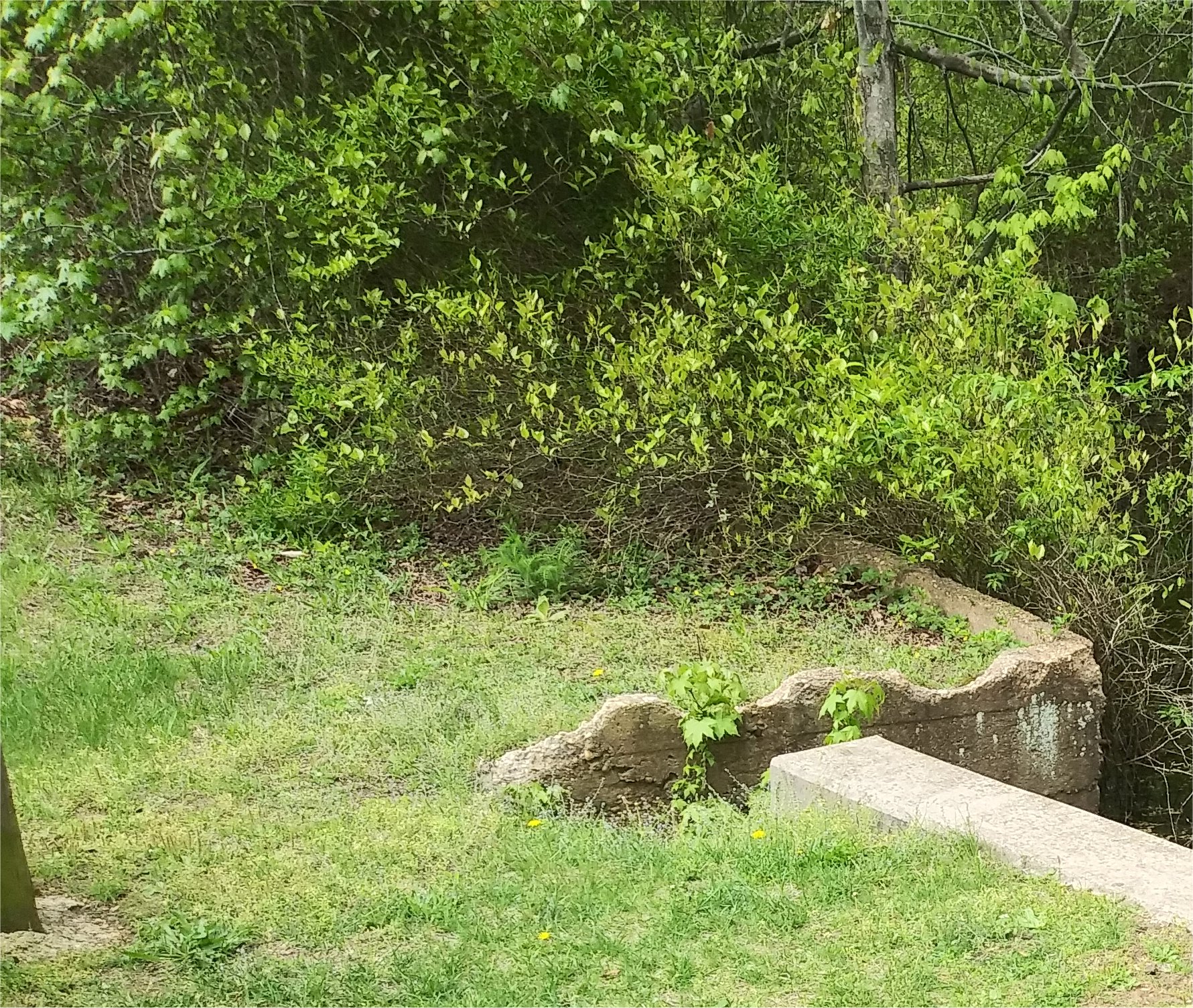
|
The older concrete is the remains of a culvert built by the WB&A Electric Railway during the summer of 1902 |
|
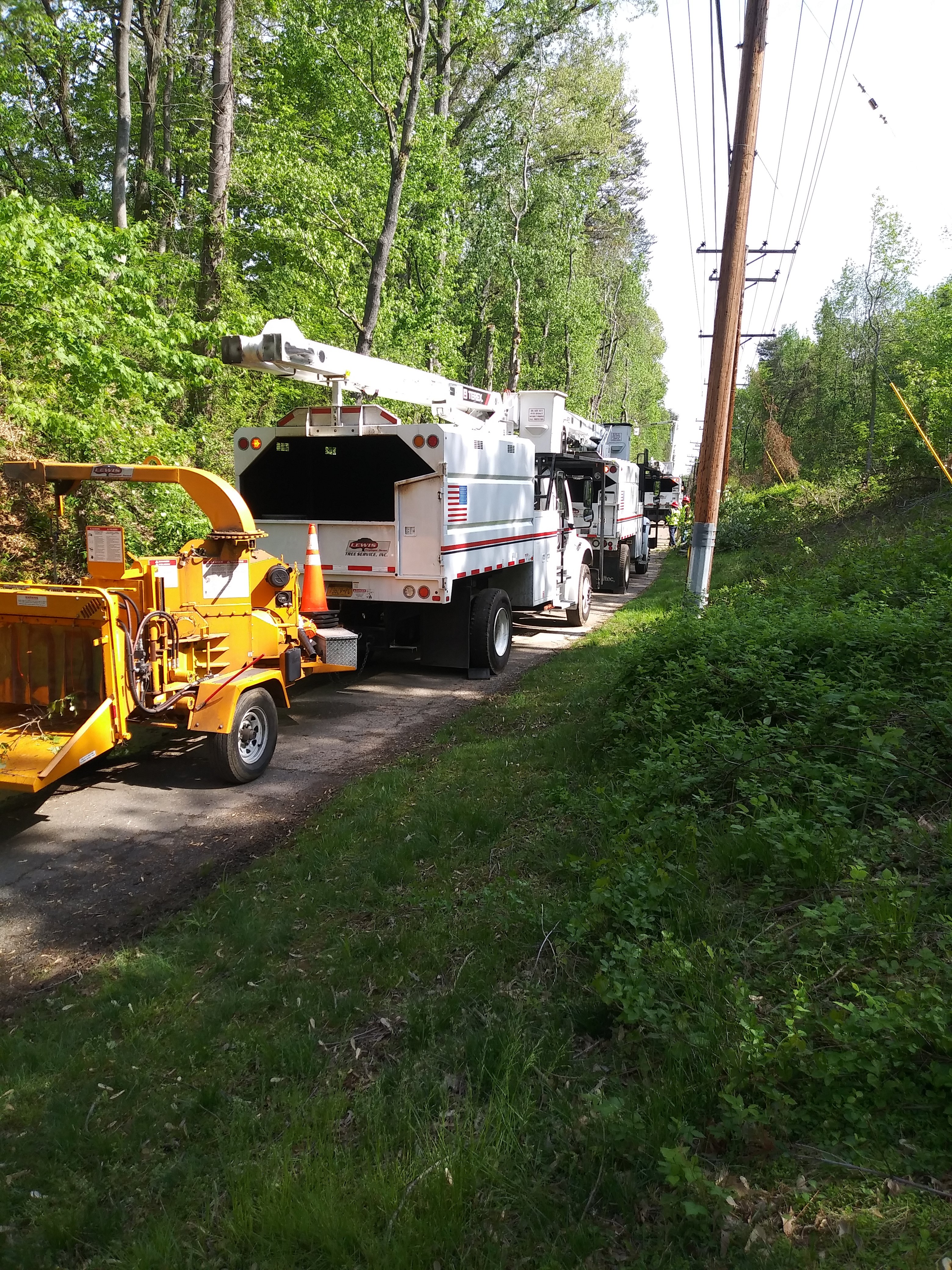
Tree crews working on the sides
of the trail, trimming trees that were too close to the right-of-way. The trail is very well-maintained |
|
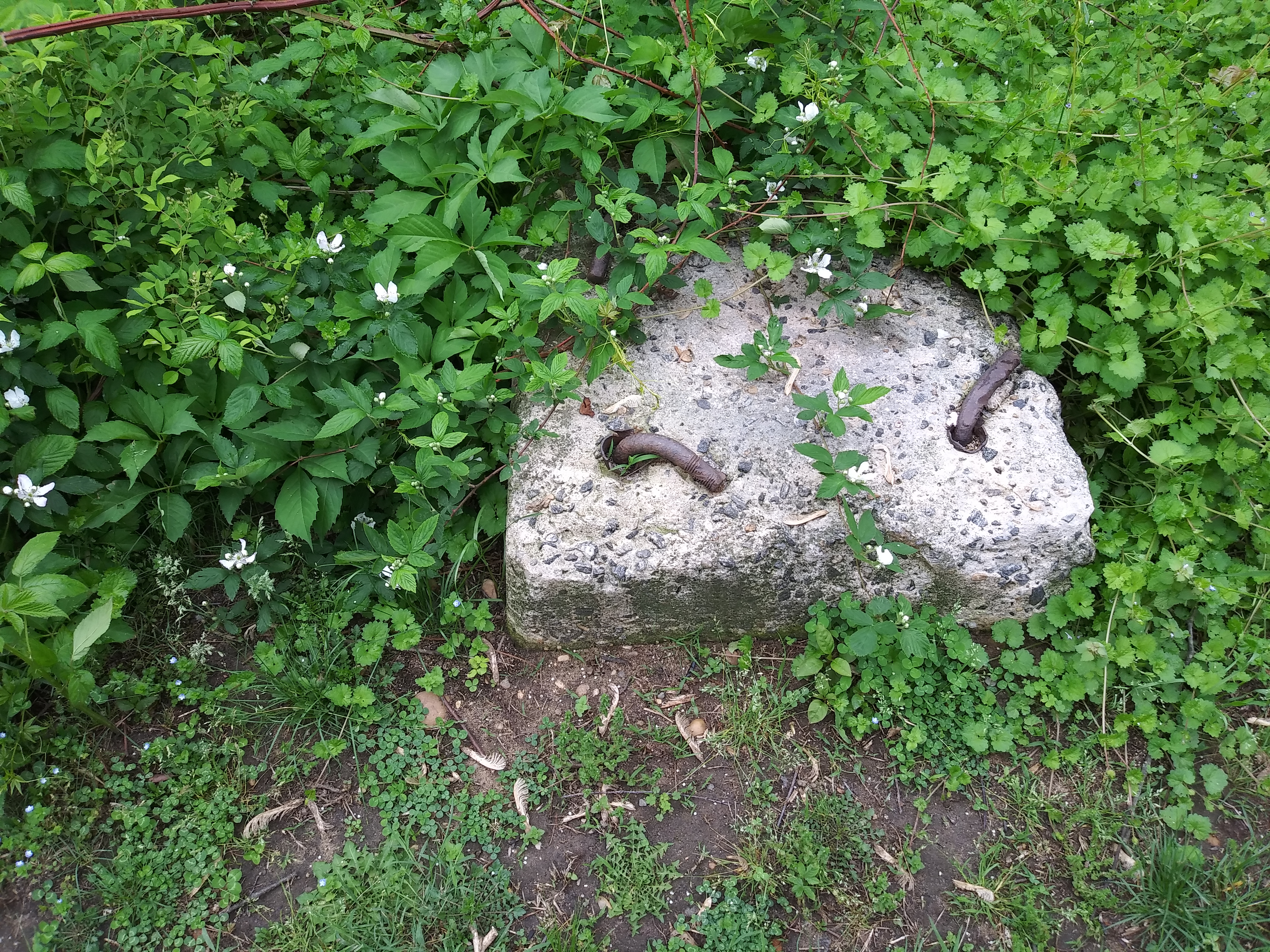
This is a signal base from the Washington,
Baltimore and Annapolis Electric Railroad -
which makes it 111 years old as of this writing
(May 2019). The signals were simple,
two-aspect signals.
|
|
|
It's a clean trail - there are trash
barrels every quarter mile or so, and, judging by the lack of trash along the trail, people are very conscientious about not littering |
|
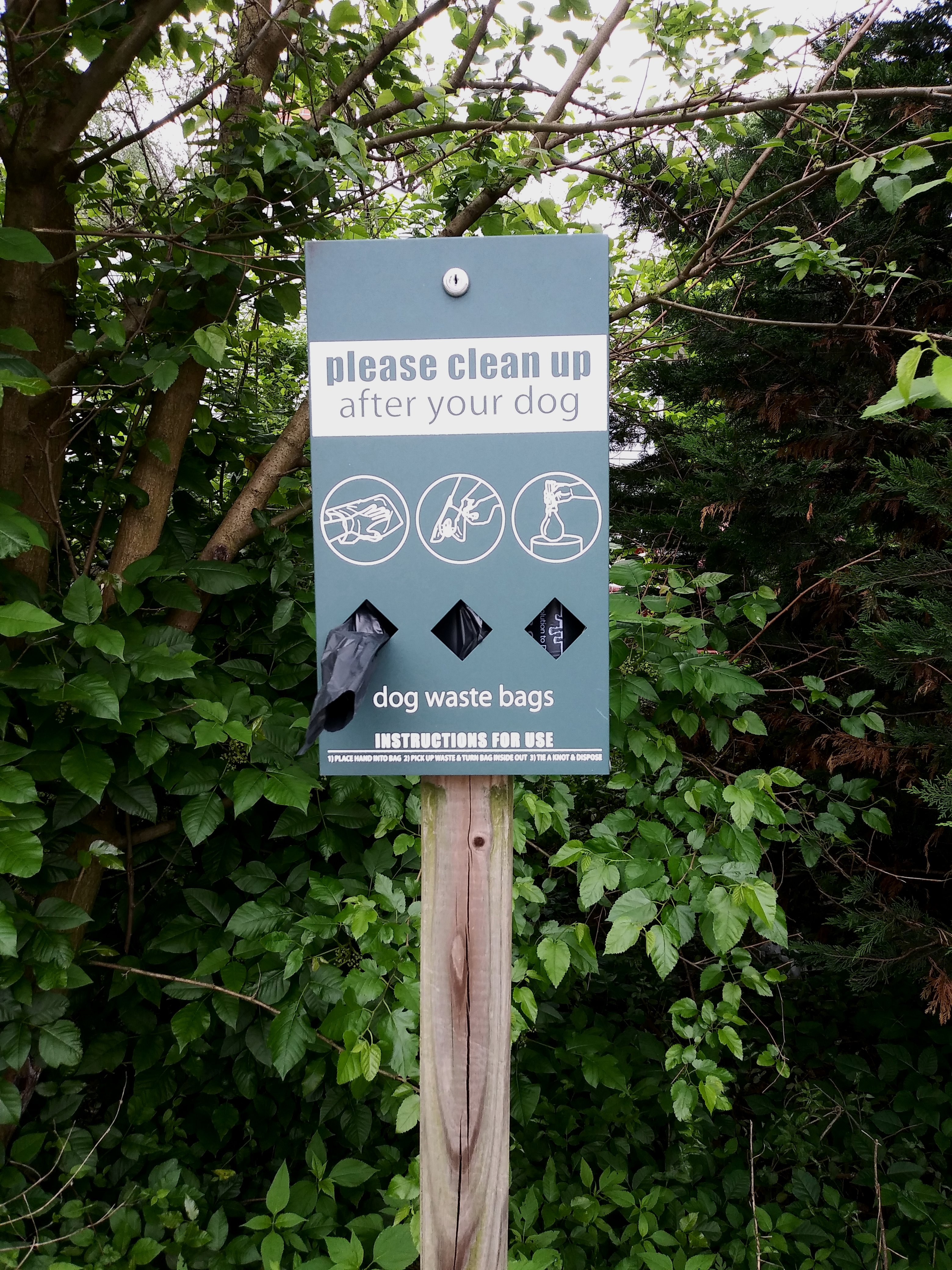
Giving a whole new meaning to "doggie bags". Can you imagine if it said "horse" instead of "dog"?!
|

|
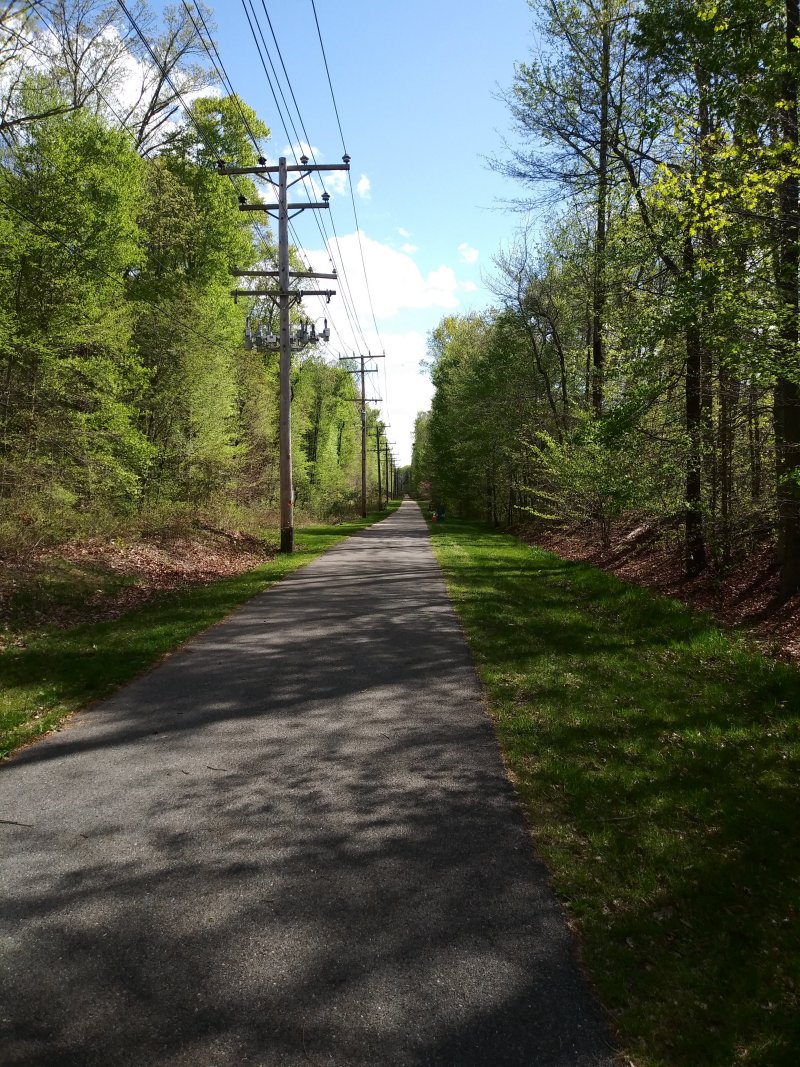
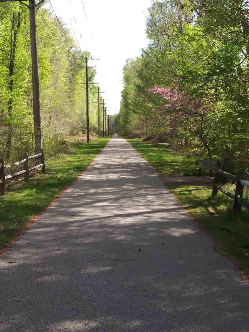
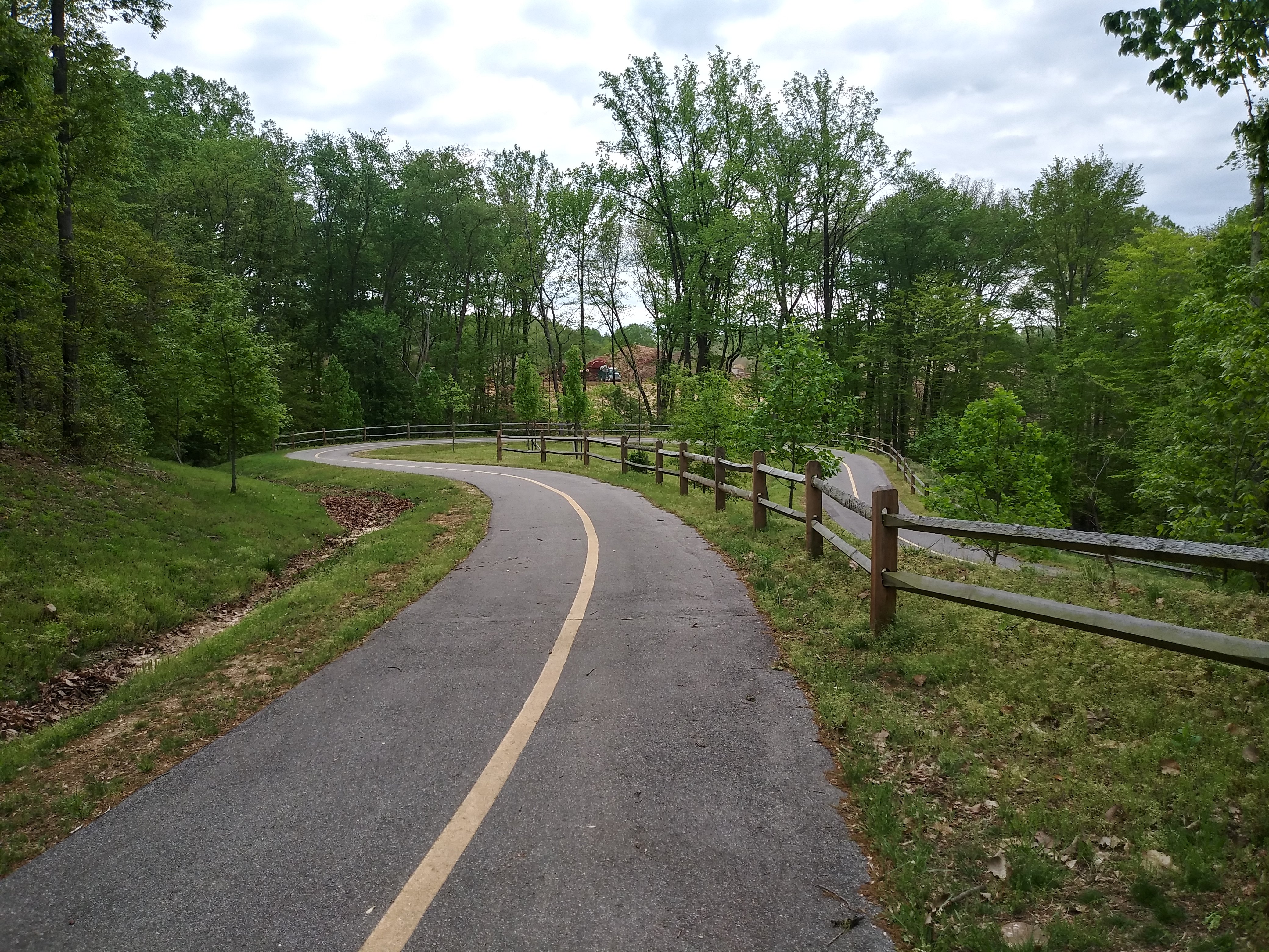
Until the trail gets near Conway
Road, it is long and straight - but at least it's shady |
|
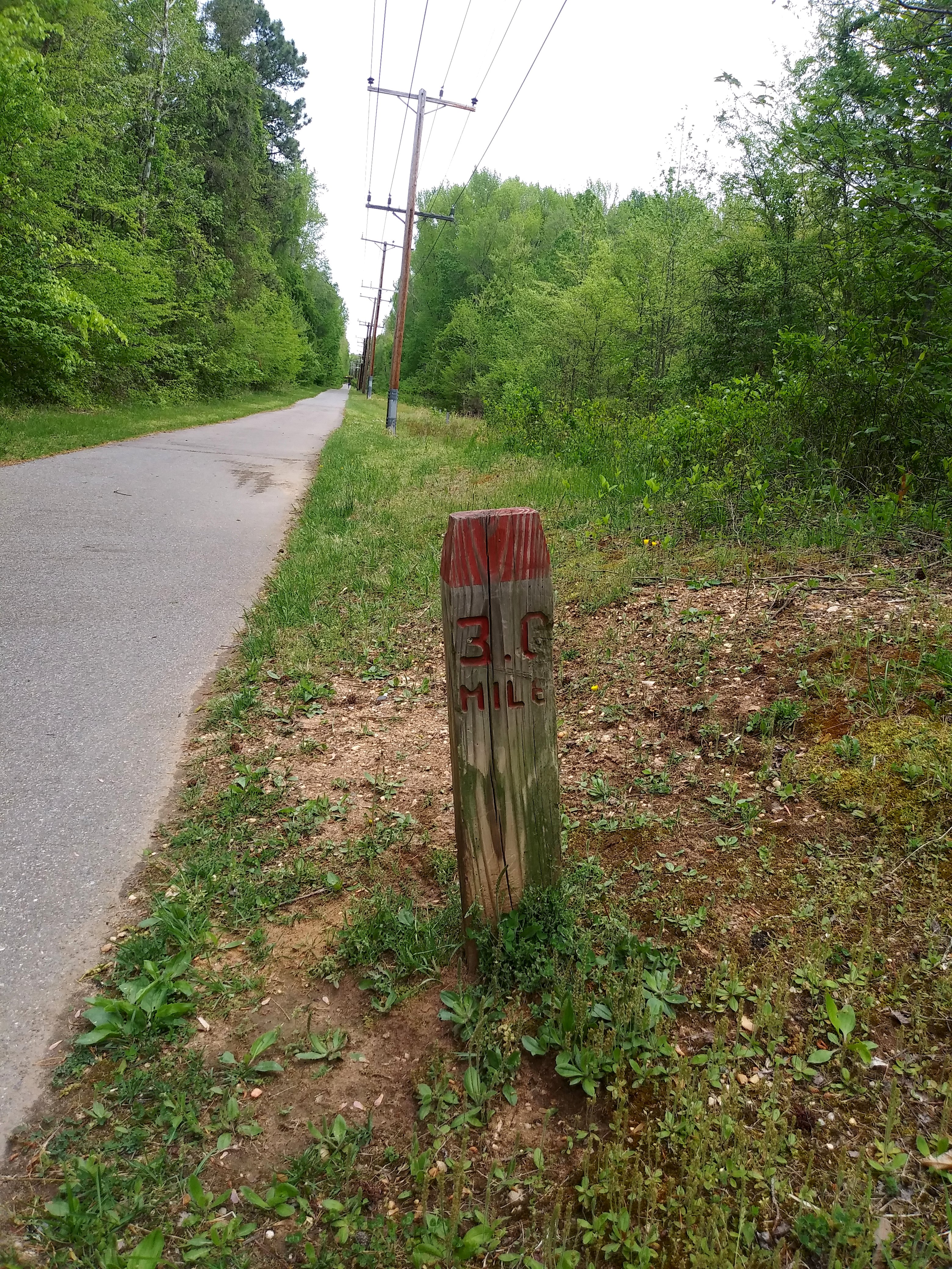
There are mile markers,
but they have the same number on each side! At least the miles to Odenton are useful! |
|
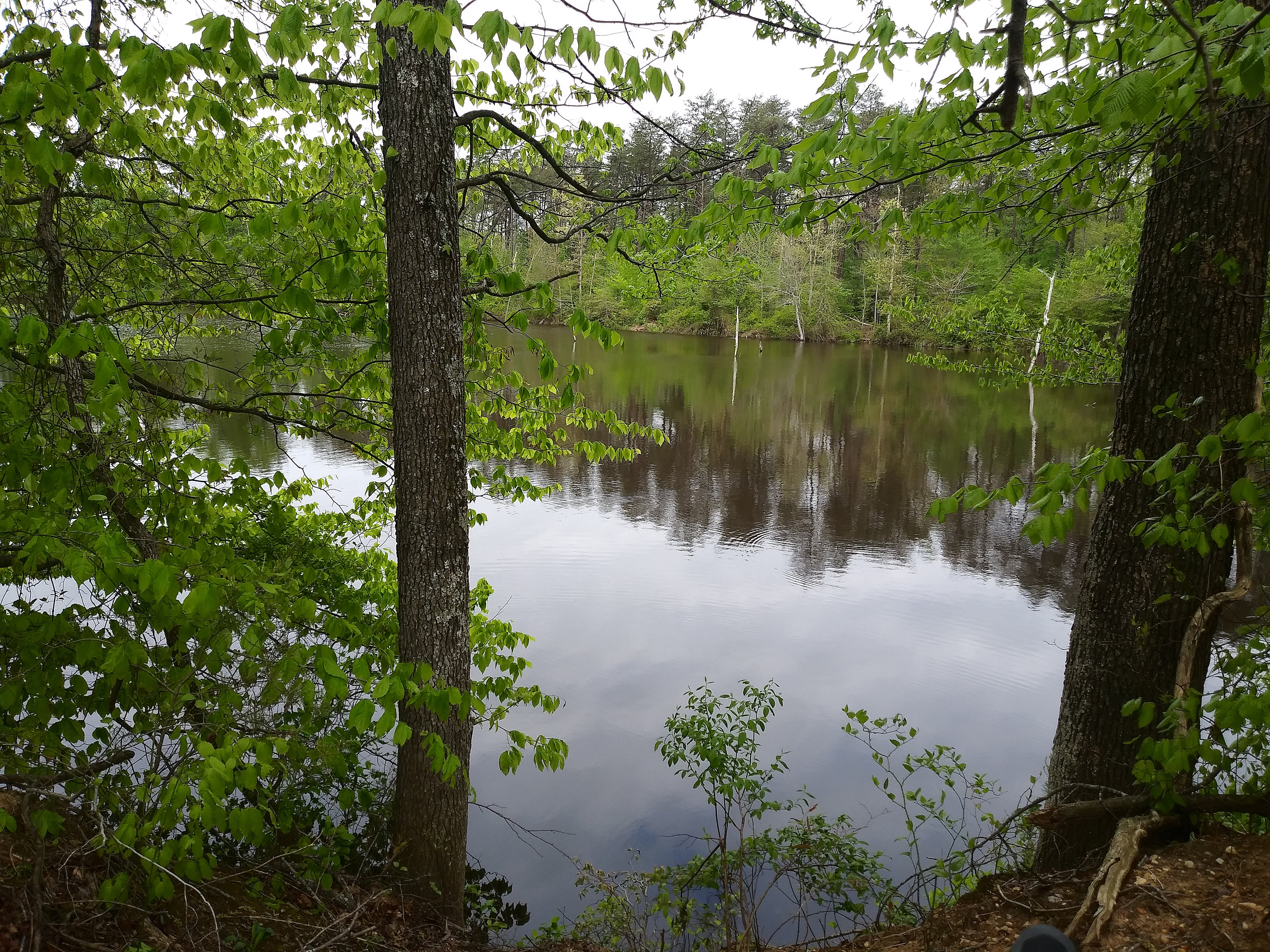
A lake along
the trail. I
don't know if
there are fish
in there, but
there are
geese - several
of them landed
while I was taking
this picture
|
|
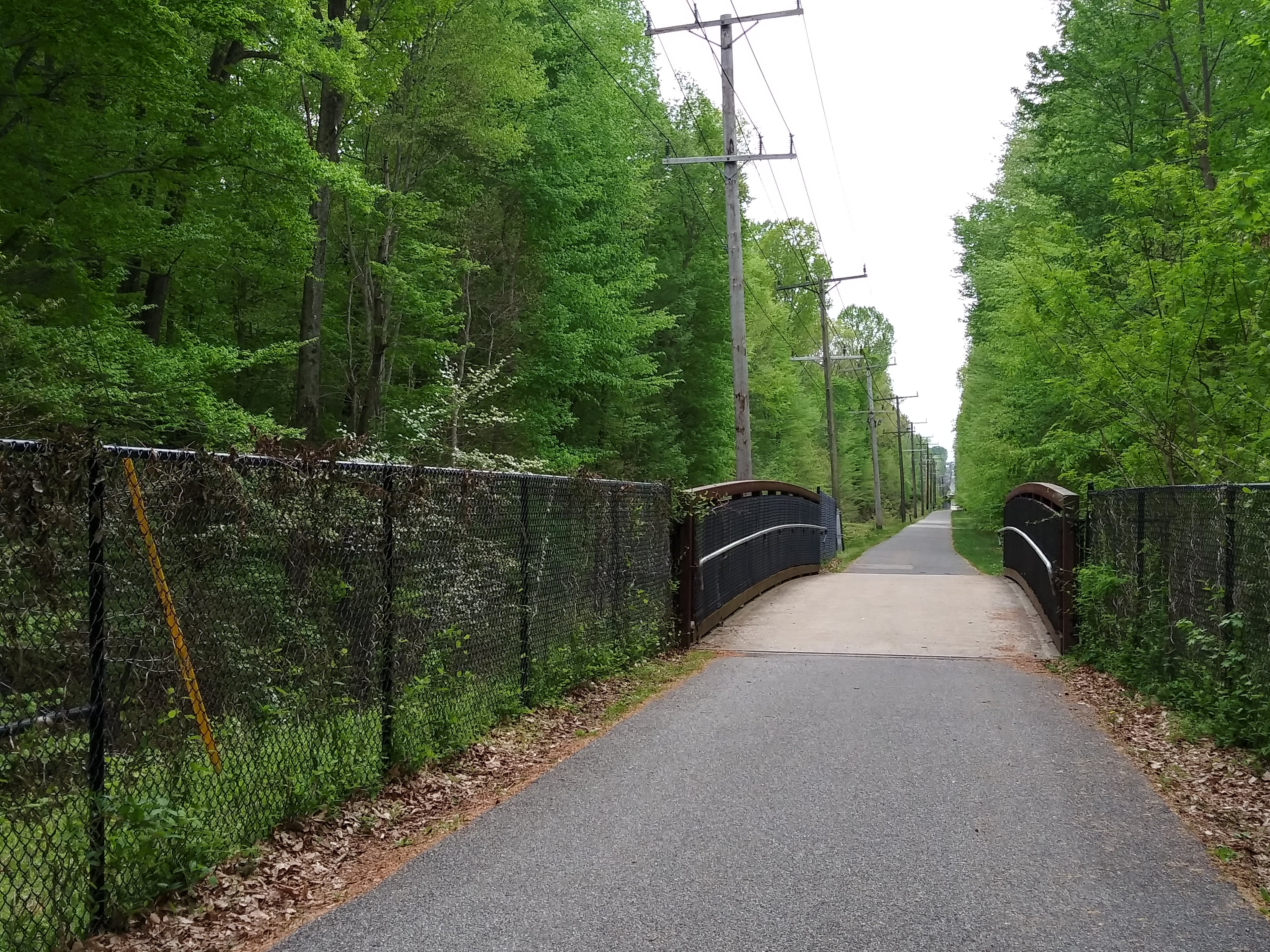
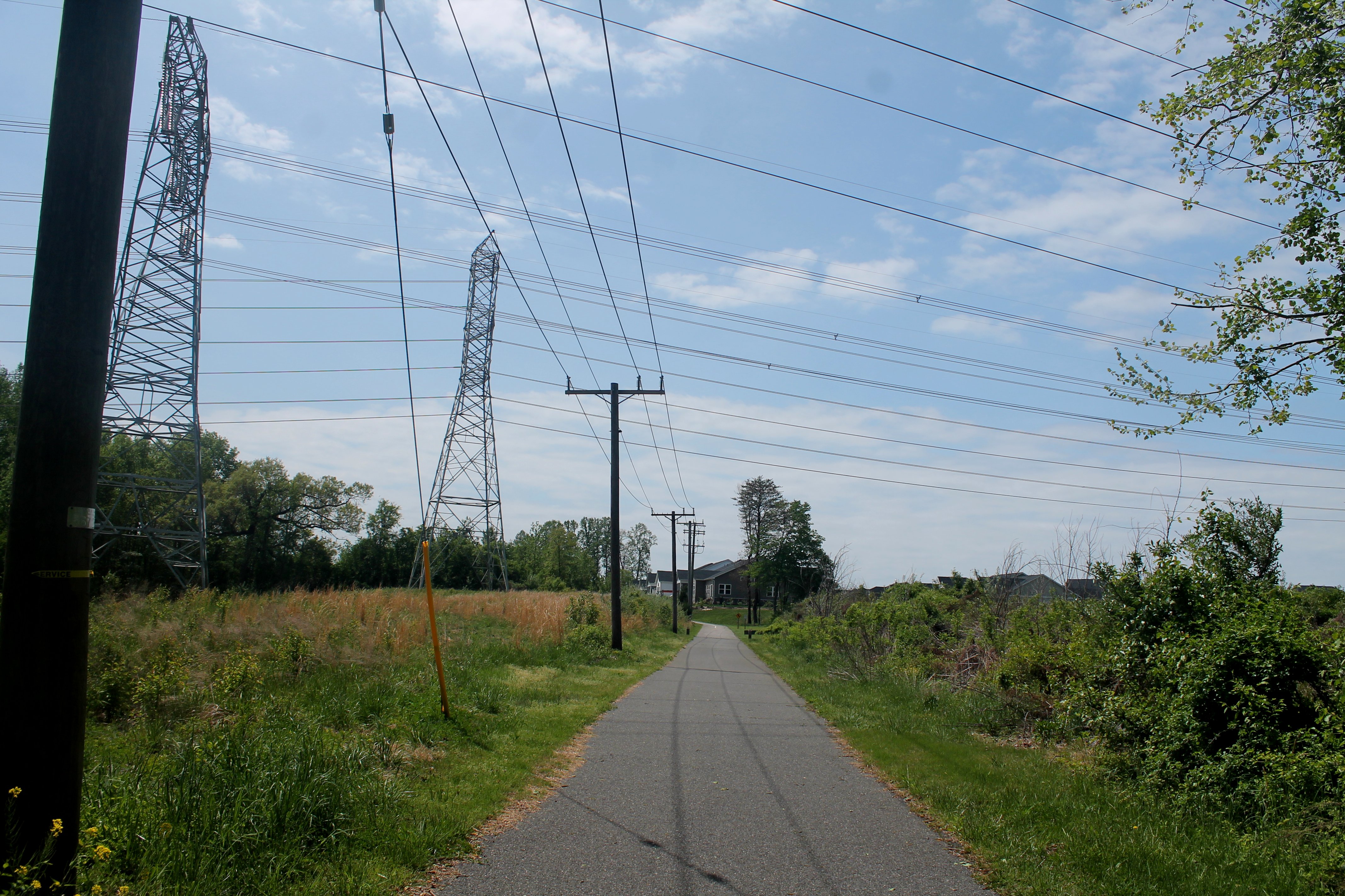
The railroad right-of-way
portion of the trail ends just beyond the high-tension wires |
|
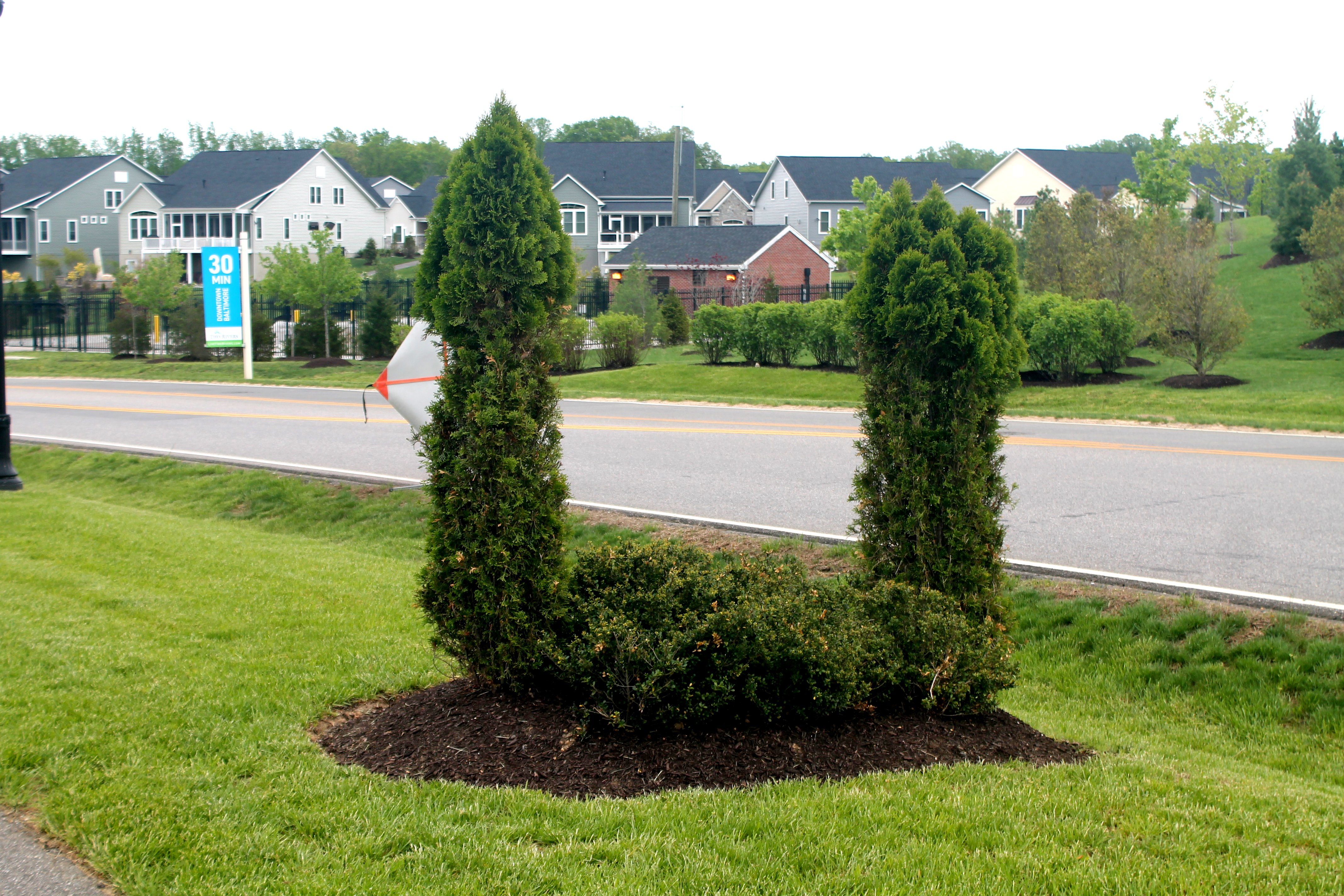
A strange topiary
in Two Rivers (a development in Odenton) |
|
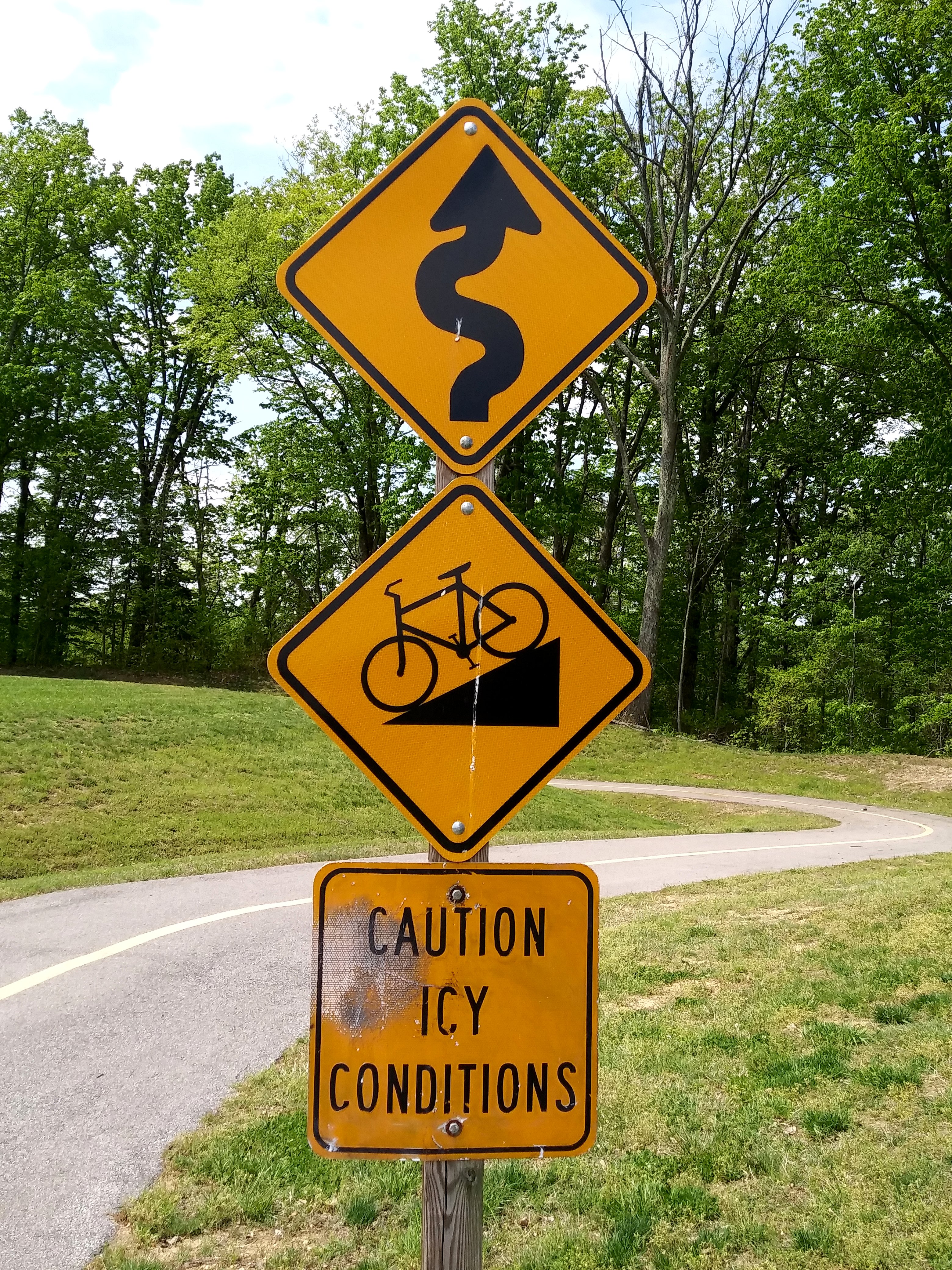
Trust me...the "steep hill"
sign is not
exaggerating
|
|
The steep hill.
I would guess
the grade to
be about four
percent; fun
going down, not
coming back up!
Oh, yeah - it's
mostly hairpin
turns!
|
|
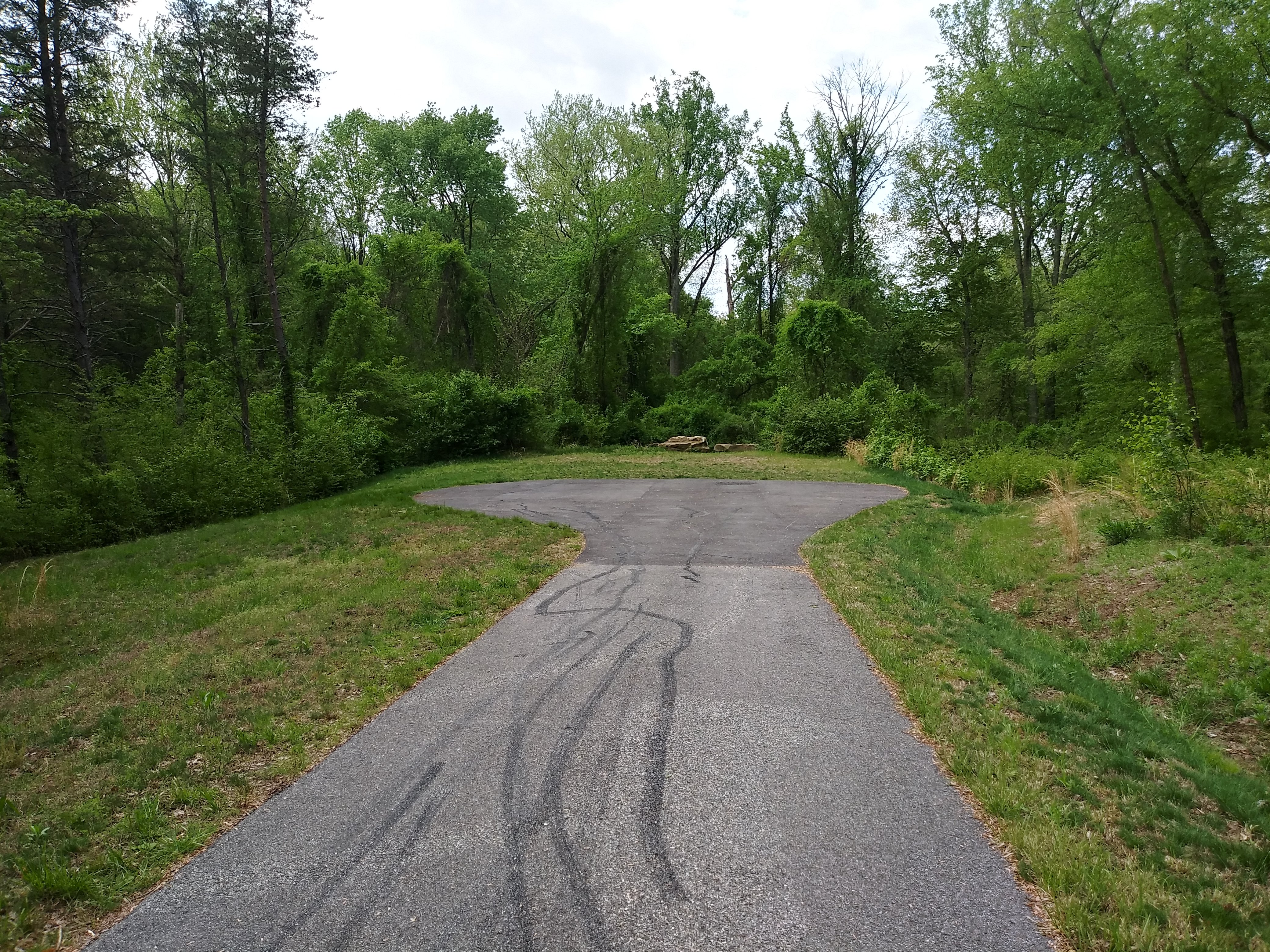
You know the dots they show on maps to indicate
a location? THEY'RE REAL! Seriously, this
is the end of the trail on the east side of the
Patuxent River...a nondescript circle in an open
field. I expected a picnic table and trash
barrel, at least.
|
|
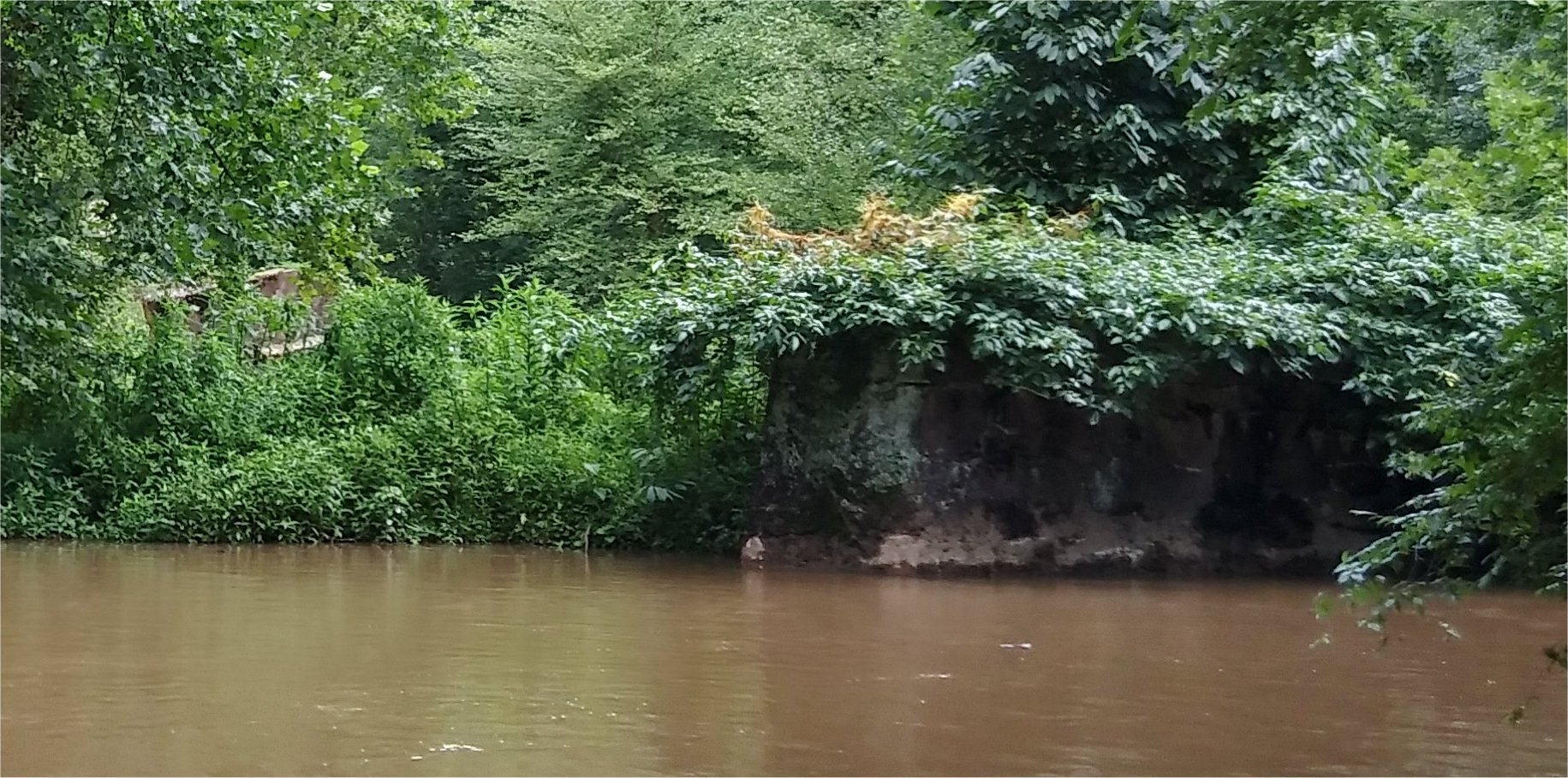
Wing wall of abutment
and intermediate pier
on East side of trail,
shot from West side
|
|
Wing wall on West side of the
Patuxent River. The downhill
side has been overgrown by a large
tree.
|
|
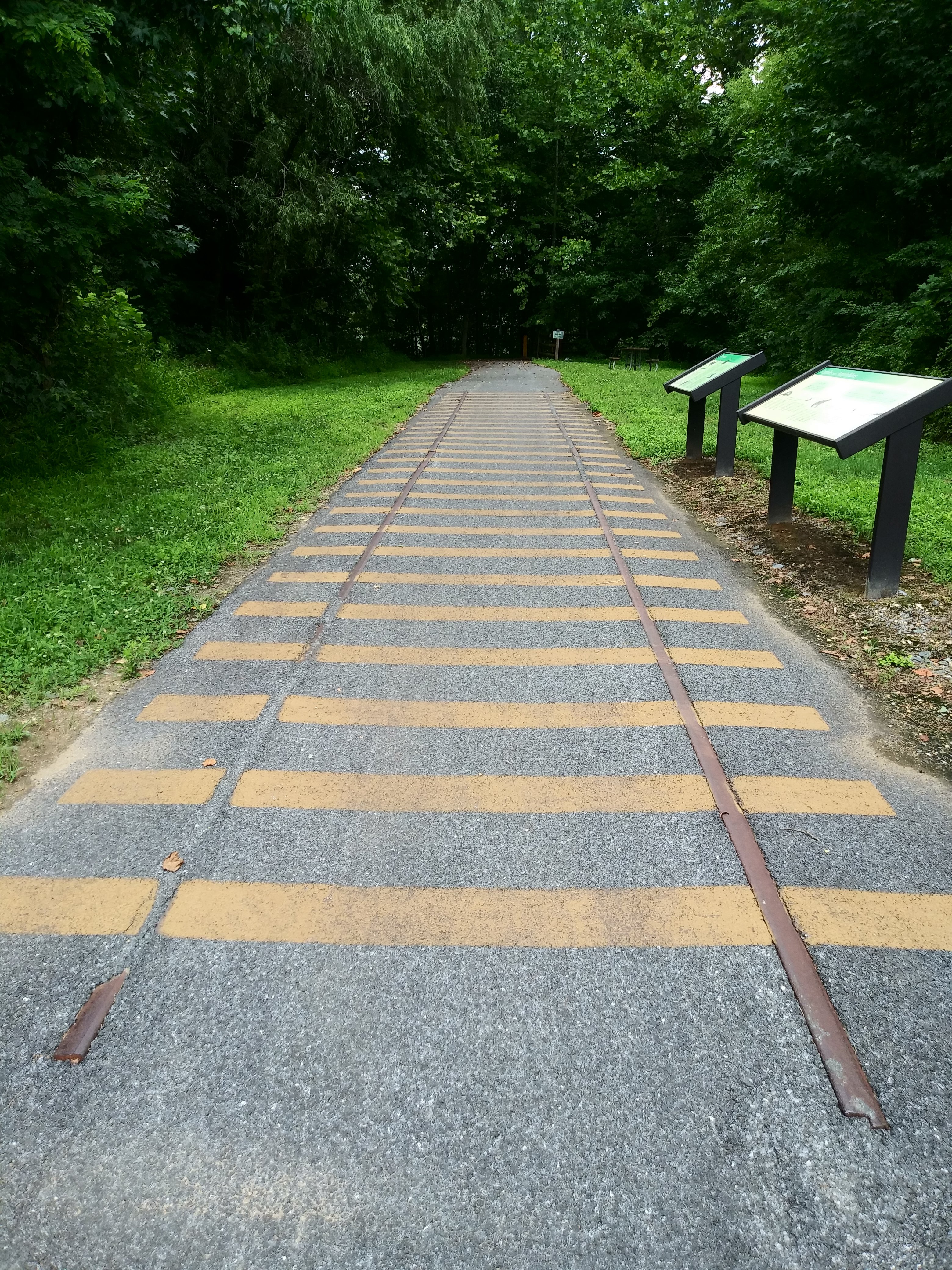
Embedded rails on the Bowie spur. Are they
really left from the WB&A, or simply put
there as a nod to the trail's history? I
don't know, but they SEEM to be in guage...
|
|
Painted "tracks" on the Bowie spur. The
tracks occur every quarter mile, as do sign posts.
|
|
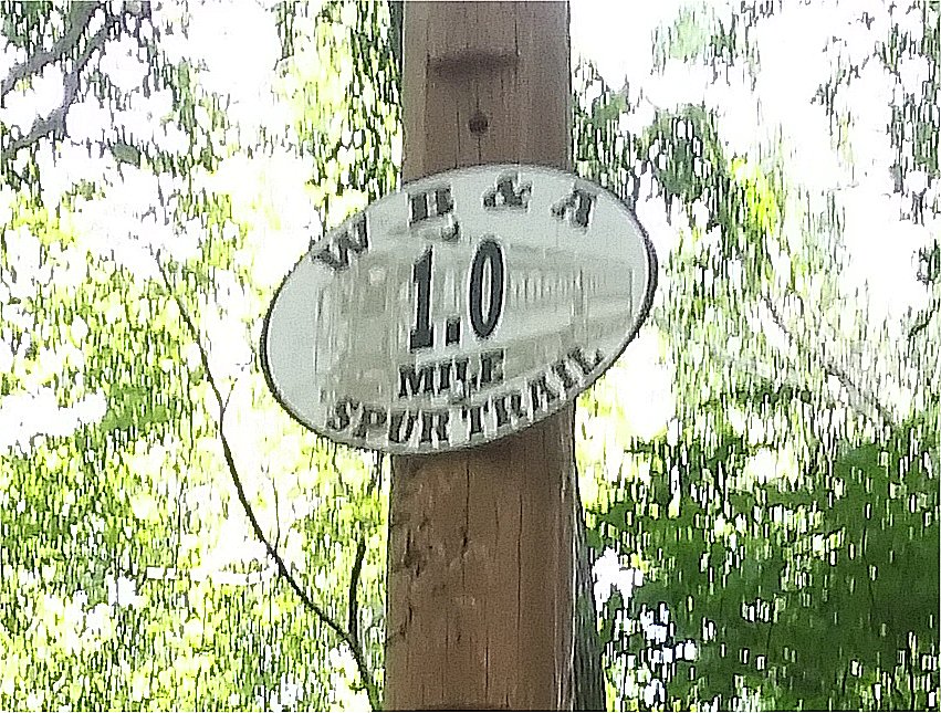
A quarterly mile maerker
|
|
The Bowie spur passes through a beautiful amrshland
|
|
A beaver lodge in the pond
|
|
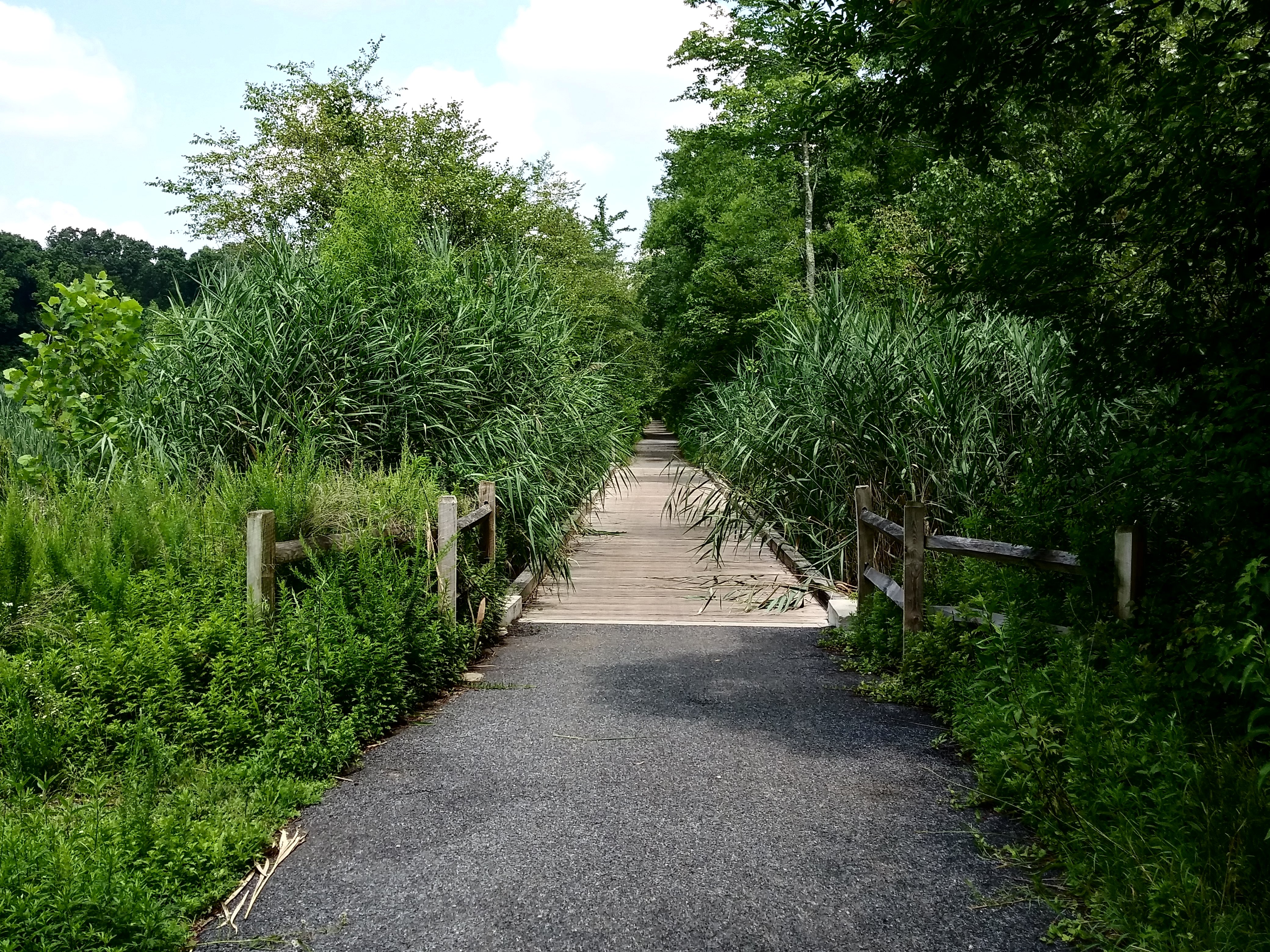
Bridge throuogh the marsh
|
I hope youve enjoyed this little trip down the WB&A bike trail.
 |
|
|
|
|
| Home | |
| Photos of Orangeville engine terminal, Baltimore, in the summer of 1983 | |
| more Orangeville pics | |
| Orangeville maps, plus construction history | |
| Photos of Orangeville when it was active | |
| Camden Yards (railroad, not baseball) page | |
| Mike's Railroad Page | |
 |
A brief history of railroads in Annapolis MD |